

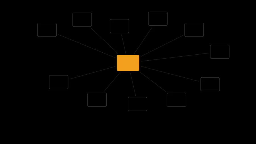
Lezíria do Tejo: from an 11-municipality WebGIS to WayGIS
Maintenance and evolution of the WebGIS platforms of the 11 Lezíria do Tejo municipalities, including modernisation and the move to WayGIS.
Products
 WaySDG Operational sustainability governance linking municipal budgets, projects, indicators and SDGs.
 WayGIS Decision-support geospatial foundation for complex territorial operations.
 WayGreen Environmental performance intelligence for carbon, energy and resource monitoring.
 WayIntegrity Secure governance workflows with traceable compliance and protected reporting channels.
Maintenance and evolution of the WebGIS platforms of the 11 Lezíria do Tejo municipalities, including modernisation and the move to WayGIS.
Integration between the Guimarães municipal WebGIS and the cultural heritage management platform of the HEREDITAS project.
Maintenance and development of the Guimarães WebGIS platform, including an integrated application for location plans and the PDM.

An internal WebGIS to centralise, view and explore the geographic information tied to work carried out across different areas of Mozambique.