An internal WebGIS to centralise, view and explore the geographic information tied to work carried out across different areas of Mozambique.
The context
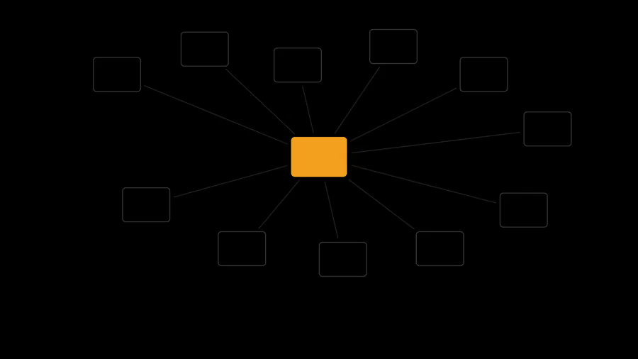
Fieldwork carried out in geographically dispersed areas produces information in different formats: coordinates, vector mapping, images, technical documents and records attached to each element of the territory. Gathering and consulting this data coherently is essential to follow operations.
The work
In 2016, Waymotion developed for GeoSurvey Moçambique and Geotrilho an internal WebGIS intended to centralise the geographic information used by the teams. The system allowed raster imagery and vector data to be viewed, including linear infrastructure and its safety corridors, searched by attribute or coordinates, and elements to be identified directly on the map.
The application also made it possible to import field data in CSV or TXT, linking it to the corresponding geographic layers, to attach documents to mapped elements and to export information in Shapefile, DXF and CSV. It further included tools to measure distances and areas, produce PDF maps and manage different levels of access to the information.
The solution was developed iteratively, with test versions and regular demonstrations to the teams in Portugal and Mozambique. Data was centralised in a geospatial infrastructure based on GeoServer, bringing together information that had been spread across different locations and systems.
What it left behind
The final version was installed on the server in November 2016. The project showed how a geographic infrastructure centralised in the cloud can support the organisation, consultation and sharing of information produced by teams working in different geographies.