The Strategy Optimizer
The bridge between strategy and execution — budgets and projects tied to ODS/ESG metrics.
Explore WaySDG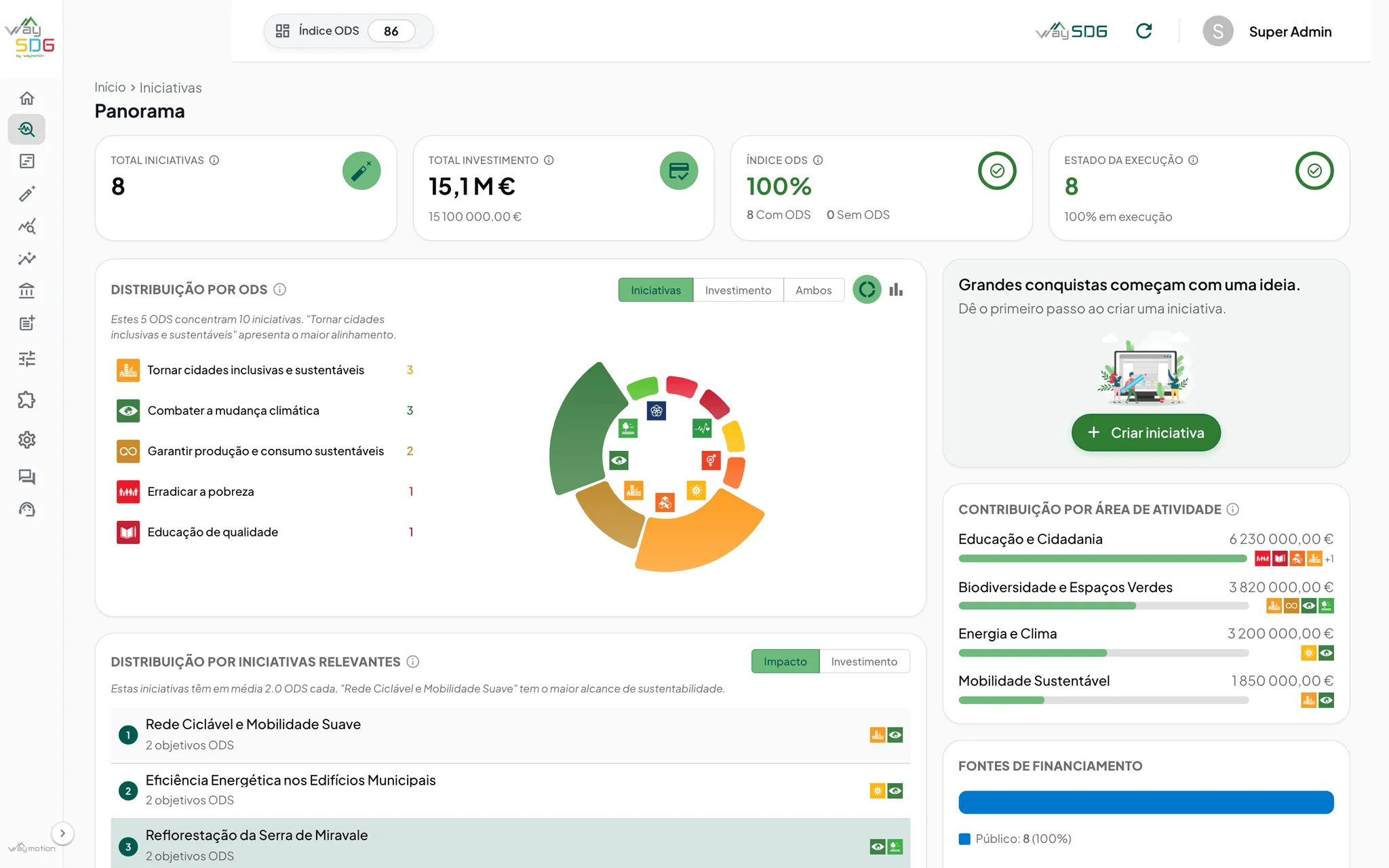
Products
 WaySDG Operational sustainability governance linking municipal budgets, projects, indicators and SDGs.
 WayGIS Decision-support geospatial foundation for complex territorial operations.
 WayGreen Environmental performance intelligence for carbon, energy and resource monitoring.
 WayIntegrity Secure governance workflows with traceable compliance and protected reporting channels.
We turn regulation, spatial data and engineering into working software — the layer where complex territories become decisions you can measure. Built for the organizations that can’t afford to get sustainability wrong.
· TERRITORY · DEVELOPMENT · OPERATIONS · PEOPLE
About Waymotion
TRUSTED BY GOV, MUNICIPALITIES AND REGULATED INDUSTRIES.








Products
Every Waymotion product is born from a real-world challenge — our engineering shapes it to deliver on-the-ground impact.
The bridge between strategy and execution — budgets and projects tied to ODS/ESG metrics.
Explore WaySDGPrecision territorial management and spatial visualization, with long-cycle GIS rigor.
Explore WayGISReal-time environmental monitoring — carbon, energy and water, ready for CSRD/ESRS.
Explore WayGreenSecure, traceable governance — immutable audit trails and protected reporting channels.
Explore WayIntegrityOur products offer robust solutions, but our true strength lies in our ability to go beyond the conventional. When your challenge demands a different approach, we design a solution tailored to your exact problem, with fully customized architecture, integration and delivery. Above all, we solve problems — no matter what form they take.
Talk with our engineering teamLatest work
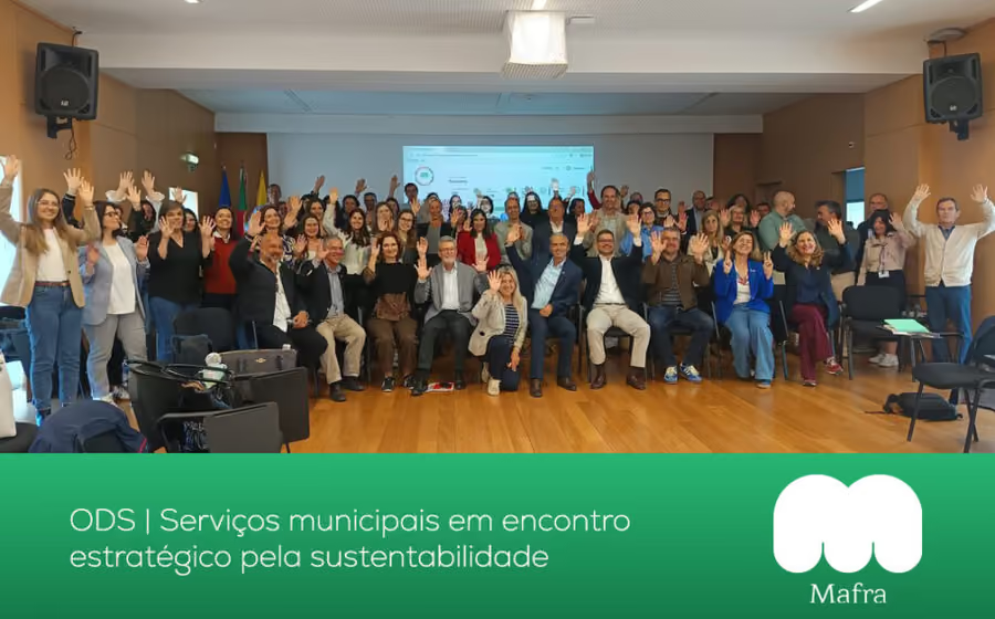
A selection of recent product implementations and tailored solutions delivered across territory, industry and government.
Why Waymotion
Anyone can write code* — today’s LLMs made sure of that. The real advantage is understanding your world first. We model your domain before we build, so the software reflects how your territory, regulations and operations actually work.
We reconcile complex geospatial, environmental and legacy data into a single trusted layer — then translate territorial strategy into spatial logic, connecting goals, budgets and indicators to the geography they affect.
From front-end to back-end, we cover the entire development cycle — and constantly explore new technologies, turning emerging research into a practical advantage that keeps you ahead of the curve.
We hire technically excellent people with good souls, not just titles — running in lean-startup mode to deliver your real needs, plus the things you didn’t ask for that end up making the difference.
* Making it work, in production, for a regulated territory? That’s a different sport.
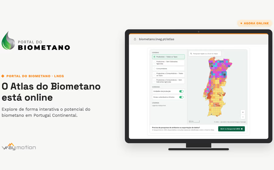
Waymotion built, together with LNEG, the viewer that opens the Biomethane Atlas for mainland Portugal to the public — where the feedstock is, where the demand is, and where a production plant makes sense.
Twelve years ago, Waymotion took its first steps. Today we celebrate more than a decade turning ideas into real impact — built on trusted partnerships, technical rigour and a team that makes the difference.
We built Wayler, a script orchestrator running on Docker, in a world obsessed with AI. We decided not to reach for the industry "giants".
Waymotion built the platform, together with LNEG's Geoscientific Information Unit, that publishes the laboratory's geology and energy data on open standards — from the Geological Map of Portugal to the national energy resource atlases.