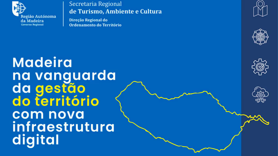
Waymotion developed and implemented a new Regional Geographic Information Infrastructure for the Autonomous Region of Madeira, creating a modern framework for territorial information management based on open international standards.
“The quality of territorial information, supported by rigorous data engineering, is crucial for the efficient management of the territory.” This fundamental principle guided the collaboration between Waymotion, SRTAC and DROTe to establish Madeira’s digital infrastructure for regional planning and transparency.
What Was Developed
The initiative went beyond a simple portal update, introducing a new architecture that centralises geospatial information management across four strategic components:
Modernisation of IRIG-Madeira – A complete redesign of the technical infrastructure ensuring scalability and performance
Regional Territorial Monitoring System (SRMT) – A continuous platform for observing land dynamics and environmental indicators
Regional “Data as a Service” (DaaS) Platform – A public data portal that enables the reuse of information by citizens and businesses
Technical Capacity Building – Knowledge transfer ensuring the autonomy of regional teams
Technical Approach
The solution prioritises open standards and international compliance, specifically adopting the OGC API standards and compliance with the INSPIRE Directive. This ensures that Madeira’s infrastructure integrates seamlessly with European systems, promoting transparency and strategic decision-making.
Conclusion
“The future of the territory is built with rigour, data and engineering excellence.” The infrastructure represents more than technology — it is a tool for citizenship and progress for the Autonomous Region of Madeira.