

DGT: evolving the spatial planning and urbanism observatory
Application development for the platform behind the Observatório do Ordenamento do Território e do Urbanismo of the Direção-Geral do Território.
Products
 WaySDG Operational sustainability governance linking municipal budgets, projects, indicators and SDGs.
 WayGIS Decision-support geospatial foundation for complex territorial operations.
 WayGreen Environmental performance intelligence for carbon, energy and resource monitoring.
 WayIntegrity Secure governance workflows with traceable compliance and protected reporting channels.
Application development for the platform behind the Observatório do Ordenamento do Território e do Urbanismo of the Direção-Geral do Território.
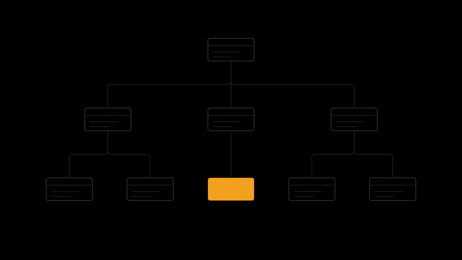
The Modelo Topográfico Nacional geographic database built in PostgreSQL/PostGIS from the technical specifications of the Direção-Geral do Território.

The web interface and analytical features of the Portuguese eENVplus pilot, combining land-use mapping, administrative boundaries and demographic data.