WAYSPOT
Spatial Planning Observatory
WaySpot is a technological platform for the rapid development of monitoring and management support applications for land management and planning.
Territory Monitoring and Management Support
The platform is based on an open and flexible back-office application that can be configured to adapt to the specific reality of the user entity, whether it is a national, regional or local entity.
WAYspot by waymotion
Why WaySpot?
This solution has been developed for use on web and mobile platforms with a simple interface tailored to the territorial theme.
Observatory Function
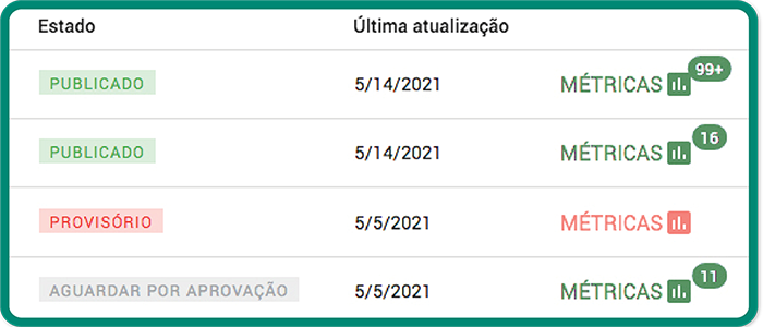
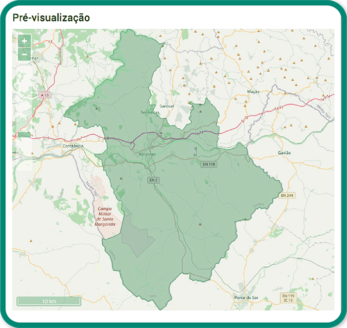
Territory monitoring and management support
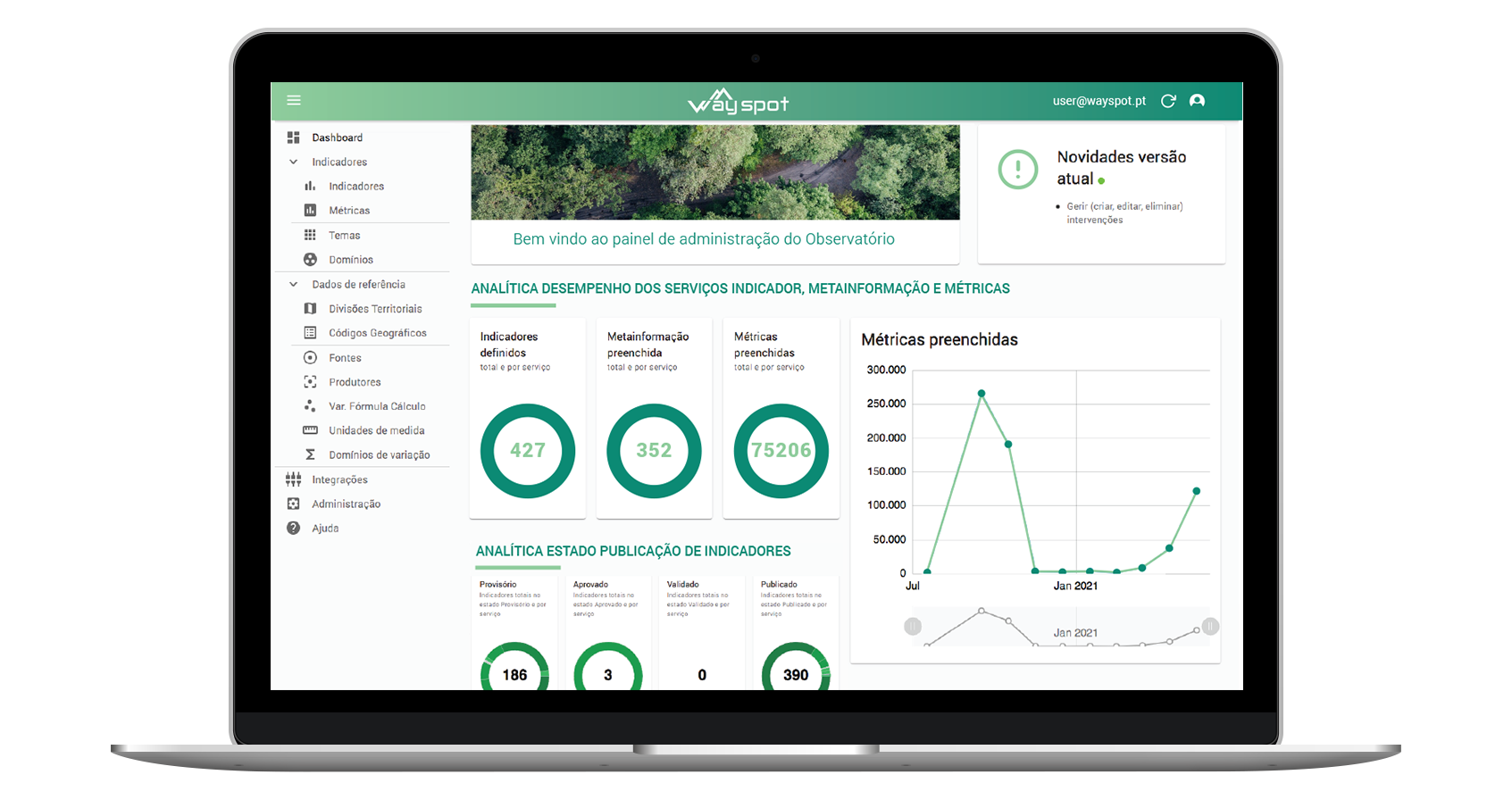
Dashboard
Monitoring and tracking of ongoing processes and projects
History and Trends
Evolutionary and comparative analysis
Interaction
Interaction with external entity information through consumption and provision of web services
Data Export
Functions for exploring, visualizing and exporting data in .csv and .xls formats
Advanced Filters
Allows for complex searches through filters